
2fImaging
The new way to carry out topographic surveys
2freedom’s 2fImaging is the latest in 3D scanning technology: no longer just a scanner, but a fully functional, integrated technology.
Now available to reserve!


2freedom’s 2fImaging is the latest in 3D scanning technology: no longer just a scanner, but a fully functional, integrated technology.
Now available to reserve!
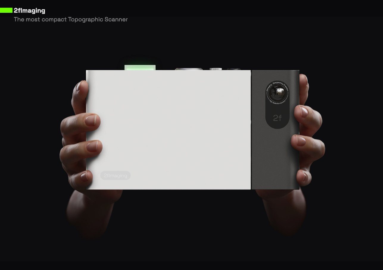
2fImaging
With 2fImaging you can scan environments in 3D with exceptional accuracy and resolution. If you need to measure individual points, 2fImaging also enables precise measurements with GNSS or total stations, even without direct line of sight or with a weak GNSS signal. Videogrammetry lets you keep surveying with high accuracy, even indoors.
Thanks to automatic segmentation and AI, measuring is fast and smart. Objects can be classified and segmented automatically in the field, then turned into points and lines for direct export to BIM, CAD or GIS formats.

Capture freely: no cables, no limits.

Use it handheld or mounted under a GNSS system with a PPS cable to get automatic 3D point clouds.

Videogrammetry keeps your accuracy even when the GNSS signal is weak or lost.


Automatic segmentation: recognises and measures objects automatically (roads, signs, trees, manholes, etc.).


Contact sales@2freedom.net for a sneak preview and register to get your launch discount.
Limited units.