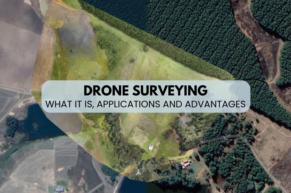
Drone Surveying
Drone Surveying: What It Is and Applications
Topography is a fundamental discipline in the field of engineering, construction and urban planning that, traditionally, has required expensive equipment and laborious processes to obtain accurate measurements of the terrain.
However, the emergence of drone technology has radically transformed this field, offering a faster, more accurate, and even cheaper alternative.
In this post, we will explain how drone surveying is revolutionizing the science of measuring and representing the Earth’s surface, using unmanned aerial vehicles to obtain accurate geospatial information from the air.
What is drone surveying?
Drone surveying involves the use of unmanned aerial vehicles (UAVs) equipped with cameras and sensors to capture aerial images and geospatial data of a specific area.
This data is then processed to create detailed maps, 3D models, and other topographic products.
Advantages of Drone Surveying
- Precision and detail: drones can fly at low altitudes, allowing them to capture high-resolution images and obtain data with a level of detail that traditional techniques definitely cannot match.
- Time efficiency: what used to take days or even weeks can now be completed in a few hours, thanks to the speed and coverage offered by drones.
- Cost reduction: By eliminating the need for heavy equipment and reducing working time, drones can significantly decrease the costs associated with surveying.
- Improved safety: drones can access difficult or dangerous terrain without putting the safety of surveyors at risk.
The idea is that you have a good drone provider and good photogrammetry and videogrammetry software for your topographic work, so you can take full advantage of this type of technology in the field.
Applications of drone surveying
Construction and urban development
Drone surveying is invaluable for planning and monitoring construction projects, providing accurate data for infrastructure planning, tracking construction progress, and verifying that work is being carried out according to the design, among other things. All of this is achieved through drone photogrammetry.
Precision agriculture
In the agricultural sector, drones allow farmers to map their fields, monitor crops, and optimize the use of resources such as water and fertilizers, resulting in increased productivity.
Mining and exploration
Drones facilitate the creation of mine maps and exploration areas, optimizing operations and improving safety, as well as offering a remote assessment of terrain conditions.
Cadastre and land management
Drone surveying has become an essential tool for updating and improving cadastral mapping. Thanks to the precision and speed of photogrammetric flights, it is possible to clearly identify buildings, plots of land, and structural elements, allowing for the detection of unregistered modifications or irregular constructions. This technology also facilitates the processes of boundary demarcation, regularization, and cadastral revaluation in rural and urban areas. The information obtained can be directly integrated into GIS systems, enabling more efficient land management for both public administrations and private companies involved in urban planning or infrastructure development.
General topographic applications
Drones enable detailed topographic surveys with broader and safer coverage than traditional methods. Through programmed flights, orthophotos, digital terrain models (DTMs), and digital elevation models (DEMs) are obtained, allowing for the generation of contour lines, longitudinal profiles, and volumetric analyses. These applications are highly useful in environmental impact studies, civil engineering projects, construction planning, and hydrological studies. The ability to obtain up-to-date data quickly and accurately makes drone surveying a modern, cost-effective solution adapted to current technical challenges.
Technologies involved
High-resolution sensors and cameras
Drones used for surveying are usually equipped with high-resolution cameras and LIDAR sensors, which allow for the capture of detailed images and accurate terrain data.
Data processing software
The images and data captured by drones are processed using specialized software that generates 2D maps, 3D models, and other topographic products. This software uses advanced techniques such as photogrammetry to ensure the accuracy and usability of the data. 2fVideomodeling is a photogrammetry and videogrammetry software that you can use to generate point clouds and 3D meshes from photographs and/or videos.
Challenges and considerations
Regulations and permits
The use of drones is subject to regulations that vary by country and region. Therefore, it is crucial to know and comply with these regulations to avoid legal problems.
Climatic conditions
Certainly, weather can affect drone operations. Adverse conditions such as strong winds, rain, or fog can limit a drone’s ability to fly and capture accurate data. You should check the weather forecast before using drones.
The future of surveying with drones
Drone technology continues to evolve at a rapid pace. Ongoing improvements in battery life, payload capacity, and sensor accuracy are expected to further expand drone applications in surveying and other fields.
Regarding processing, the emergence of videogrammetry seems like a natural evolution, eliminating the need to create flight plans and generate captures and 3D models of highly complex 3D elements (especially when the captures are mixed between horizontal, vertical, and oblique captures) among pilots without prior knowledge of photogrammetric flights.
Conclusion
Therefore, drone surveying represents a significant advancement in the way geospatial data is obtained and analyzed. Its numerous advantages in terms of accuracy, efficiency, and safety make drones a crucial ally for modern surveying work.
As professionals and businesses continue to adopt this technology, the potential for innovations and improvements is limitless.
Frequently Asked Questions
What level of accuracy can be achieved when using drones for topographic surveys?
Drones equipped with RTK/PPK can achieve accuracies of 2-5 cm when ground control points are established. However, this depends on flight altitude and camera resolution.
Are drones suitable for topographic surveying in areas with dense vegetation?
Not always: photogrammetry is affected by thick vegetation as it cannot see the ground underneath; in those cases the LiDAR method is more effective.
What are the main benefits of using drones in surveying compared to the traditional method?
They allow large areas to be covered more quickly and safely, with lower personnel and equipment costs, and with the delivery of high-resolution 3D models and maps.