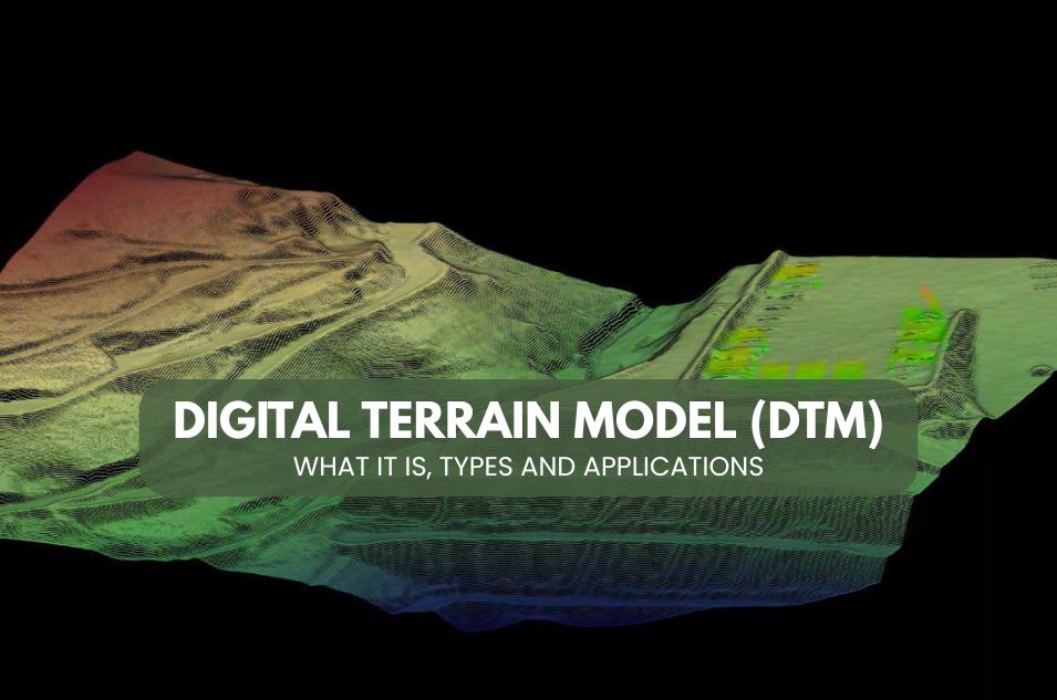
Digital Terrain Model (DTM)
Digital Terrain Model (DTM): what it is and its types
In the world of cartography and surveying, the Digital Terrain Model (DTM) plays a crucial role. Below, we’ll explain what a DTM is, its applications, types, and how to obtain free resources for your projects.
What is a digital terrain model
A Digital Terrain Model (DTM) is a numerical representation of the terrain’s topography, excluding vegetation and buildings. This distinguishes it from a Digital Elevation Model (DEM), which can include elements such as trees and buildings.
It is used to perform topographic, hydrological, and geomorphological analyses, and is generated from data obtained through methods such as surveying, photogrammetry, satellite imagery, or LiDAR. DEMs are essential for planning and risk management.
In essence, the DEM offers a clear view of the terrain, providing an invaluable basis for various geographical applications.
Key applications of the MDT
There are multiple applications of the MDT, among which the following stand out:
- Runoff modeling: Allows simulation of how water moves over a surface, crucial for water resource management.
- Creation of relief maps: Helps to visualize the terrain in three dimensions, improving spatial understanding.
- Flight planning: Used in aviation to plan optimal routes, avoiding collisions with the terrain.
- Civil engineering projects: Facilitates the planning and execution of infrastructure, such as roads and bridges.
Types of digital terrain models
There are different types of MDT, each adapted to specific needs:
- MDT25 and MDT200: Derivative products that represent the terrain at different scales of detail, being useful for different cartographic applications.
Proceso de construcción de un MDT
Creating a DEM involves advanced techniques, such as:
- Radar interferometry: Uses radar signals to measure precise distances to the ground.
- Photogrammetry: Involves the use of aerial photographs to calculate distances and elevations.
- LiDAR (Light Detection and Ranging): Uses laser pulses to generate detailed point clouds of the terrain.
All these methods allow the generation of a precise and usable model for various applications.
Use and Exploitation of the MDT
Once created, the MDT can be exploited in multiple ways:
- Geospatial analysis: Used in geographic information systems (GIS) for advanced analysis.
- Environmental simulations: Helps in predicting natural phenomena, such as landslides and lava flows.
- Urban development: Facilitates the planning of urban areas, ensuring sustainable development.
Comparison of MDT Formats
MDTs can be stored in different formats, each with its own advantages:
- COG (Cloud Optimized GeoTIFF): Facilitates access and use in the cloud, making it ideal for GIS applications.
- Traditional formats: Such as .tiff and .asc, which are widely compatible with mapping tools.
Choosing the right format depends on the specific needs of the project and the tools available.
Free and collaborative tools for MDT
To work with MDT, there are multiple free and collaborative tools:
- QGIS: An open-source GIS platform that enables the visualization and analysis of geospatial data.
- LiDAR Tools: They offer advanced capabilities for manipulating and visualizing LiDAR data, essential for working with MDT.
These tools democratize access to and use of MDTs, allowing more users to benefit from them.
Conclusion
In conclusion, the Digital Terrain Model (DTM) is a powerful tool in the fields of mapping and surveying. With a wide range of applications and free resources available, DTMs have become an integral part of many geospatial projects. Whether you are working in urban planning, environmental studies, or civil engineering, the DTM provides a solid foundation for achieving accurate and effective results.