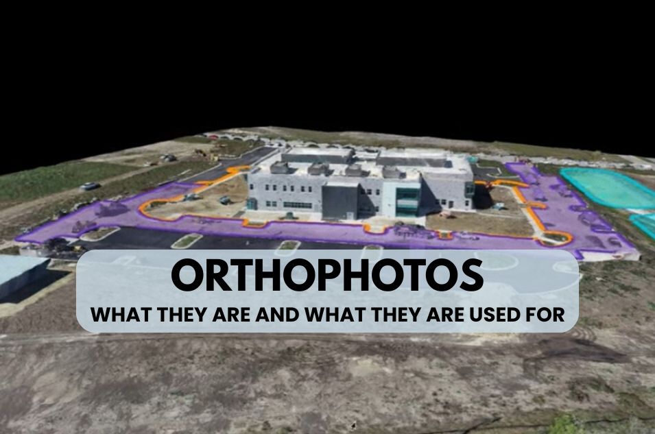
Orthophotos: What They Are and What They Are Used For
Orthophotos have become an indispensable tool in technical projects requiring cartographic precision and accurate representation of the landscape. This technical guide will analyze in depth what orthophotos are, how they are generated through the orthorectification process, and their practical applications in numerous professional sectors.
What is an orthophoto?
An orthophoto, or orthograph, is a photographic representation of the Earth’s surface in which all features are depicted in orthogonal projection, with a uniform scale and free of geometric distortions. Unlike a conventional aerial photograph, which exhibits distortions caused by camera perspective, sensor tilt, and terrain relief, an orthophoto combines the visual detail of a photograph with the metric properties of a map.
Orthophotos allow for precise measurements of distances, areas, and angles directly on the image, making them a reference cartographic product for technical professionals.
Key differences between aerial photography and orthophoto
Whereas an unprocessed aerial photograph presents:
- Perspective distortions: Objects far from the central point appear tilted
- Scale variation: The scale changes according to the height of the elements
- Relief displacement: Buildings, mountains, and elevated structures appear displaced from their actual position
An orthophoto eliminates these imperfections using geometric correction techniques, providing:
- Uniform orthogonal projection: All elements viewed from their vertical
- Unique and constant scale: The same scale across the entire surface
- Precise georeferencing: Each pixel has exact geographic coordinates
The orthorectification process: transforming images into accurate data
Orthorectification is the technical process by which aerial images are transformed into orthophotos. This procedure systematically corrects all geometric distortions present in the original photographs.
Phases of the orthorectification process
- Aerial image capture
The images are obtained through photogrammetric flights performed with:
- Aircraft equipped with calibrated metric cameras
- Drones (UAV) con sistemas de posicionamiento RTK/PPK
- Satellite platforms for extensive coverage
Capture requires rigorous planning, establishing flight patterns with overlap between images (typically 60-80% longitudinal and lateral) that guarantee complete coverage of the area of interest.
- Generation of digital elevation models
To correct the distortions caused by the terrain, three-dimensional models of the terrain are needed:
- DTM (Digital Terrain Model): Represents the elevation of the bare terrain, excluding vegetation and buildings. Learn more about what a Digital Terrain Model is.
- DSM (Digital Surface Model): Includes all elements on the ground (buildings, trees, infrastructure)
The choice between DTM and DSM depends on the type of orthophoto that needs to be generated.
- Establishment of checkpoints
Ground Control Points (GCPs) are precisely known coordinates that allow for accurate georeferencing of images. They are established by:
- High-precision GNSS systems (RTK stations)
- Classical surveying with total station
- Identifiable elements in official cartography
- Photogrammetric adjustment
Using specialized photogrammetry software, the exact orientation of each image at the time of its capture is calculated, determining:
- Sensor position (X, Y, Z)
- Angular orientation (omega, phi, kappa)
- Camera calibration parameters
- Differential rectification
This is the core of the orthorectification process. For each pixel in the final image:
- Its target geographical position is determined
- It is calculated from which original image and which position within it the value should be extracted
- It is corrected using the corresponding elevation model
- Interpolation is applied to obtain the final pixel value
The result is an image where each element is positioned in its actual geographic location, regardless of its height or the original capture geometry.
Types of orthophotography according to the method
Analog orthophotography (historical method): An optical process using the projection of original slides onto negatives, working with small geometric units. Virtually obsolete due to technical limitations and cost.
Digital orthophotography (current method): A fully digital process that allows pixel-by-pixel work using advanced algorithms. Advantages include:
- Higher processing speed
- Automation possible
- Direct integration with GIS systems
Conventional orthophoto vs. true orthophoto
Conventional orthophoto: Uses a DTM (terrain model) for correction. In urban areas, buildings may appear with visible facades, creating occlusions in adjacent areas.
True Orthophoto: Uses a DSM (surface model) that includes all elevated features. Each building appears only in its vertical projection (roof view), eliminating visible facades and occlusions. It requires greater image overlap and more complex processing, but offers maximum accuracy in dense urban environments.
Professional applications of orthophotos by sector
Orthophotos have cross-cutting applications in numerous professional fields where geometric accuracy and up-to-date information are critical.
Surveying and cartography
Orthophotos form the cartographic basis for:
- Official topographic map update
- Generation of cartography at scales of 1:500 to 1:5,000
- Visual complement to topographic surveys
- Production of property boundary plans
In Spain, the National Aerial Orthophotography Plan (PNOA) of the National Geographic Institute uses orthophotos with a resolution of 25-50 cm as a national cartographic reference.
Construction and civil engineering
In construction projects, orthophotos allow:
- Initial planning: Detailed site analysis before the start of construction
- Precise layout: Cartographic base for the location of construction elements
- Construction monitoring: Periodic documentation of progress through time comparison
- Volume measurement: Calculation of earthworks, excavations and fills
- Quality control: Verification of execution according to project
- Final documentation: As-built record of the constructed infrastructure
The achievable accuracy (±1-3 cm/pixel with RTK drones) allows its use in projects that require millimeter tolerances.
Cultural heritage and archaeology
Orthophotos are fundamental tools for:
- Precise geometric documentation of archaeological sites
- Plans of historic buildings and monuments
- Monitoring of degradation processes
- Planning of restoration interventions
- Creation of digital heritage records
The ability to generate orthophotos at a very detailed (sub-centimeter) scale allows for the documentation of architectural elements with a level of detail previously impossible using traditional techniques.
Precision agriculture
In the agricultural sector, multispectral orthophotos provide:
- Detection of plant stress: Through analysis of indices such as NDVI (Normalized Difference Vegetation Index)
- Irrigation optimization: Identification of areas with water deficit or excess
- Variable input management: Differentiated application of fertilizers according to needs
- Plant counting: Automated inventory through digital processing
- Pest detection: Early identification of affected areas
The SIGPAC (Geographic Information System for Agricultural Parcels) uses orthophotos as a basis for the management of CAP aid.
Urban planning and land management
Urban planners use orthophotos to:
- Preparation and updating of urban development plans (PGOU, partial plans)
- Analysis of urban growth and land use changes
- Identification of undeclared or illegal constructions
- Public infrastructure planning (roads, green areas)
- Visual and landscape impact studies
- Cadastre and property registry
Forest management and environment
Environmental applications include:
- Forest inventory: species classification, calculation of densities and heights
- Damage assessment after forest fires or pests
- Monitoring of forest stands and their temporal evolution
- Environmental impact studies of projects
- Delimitation of protected natural areas
- Spill control and assessment of degraded areas
Linear infrastructures
For the management of transport networks and services:
- Inspection of roads, motorways and railways
- Planning the routes of new infrastructures
- Monitoring of power lines and communication towers
- Control of easements and protection zones
- Detection of deformations and structural problems
Mining and quarries
In mining operations, orthophotos facilitate:
- Precise calculation of volumes of extracted material
- Planning of exploitation phases
- Slope stability control
- Monitoring compliance with restoration plans
- Safety management through deformation detection
Emergency management
In crisis situations, updated orthophotos allow:
- Rapid damage assessment following natural disasters
- Planning of evacuation and access routes
- Identification of risk zones
- Coordination of rescue teams
- Documentation for insurance claims
Technical advantages of orthophotos compared to other cartographic products
Verifiable metric accuracy
Orthophotos allow for direct measurements with centimeter-level accuracy, comparable to or better than traditional topographic surveys. Accuracy depends on:
- Spatial resolution of the images (GSD – Ground Sample Distance)
- Accuracy of the control points used
- Quality of the digital elevation model
- Capture method (conventional aerial photogrammetry, RTK drones, satellite)
With drones equipped with RTK/PPK systems, accuracies of ±1.5 cm/pixel are achieved, sufficient for precision engineering applications.
Complete and objective information
Unlike traditional vector cartography, which selectively represents certain elements based on their cartographic relevance, an orthophoto preserves all the visual information of the territory at the time of capture. This allows for:
- Identify elements not foreseen in the original cartographic project
- Perform further analysis without the need for new flights
- Interpreting information according to the specific needs of each user
- To have a reliable historical record
Ease of interpretation
Orthophotos are intuitively understandable without requiring specialized knowledge of map reading or cartographic symbology. Any technician can:
- Identify elements of the territory immediately
- To visually relate elements to each other
- Communicating information effectively to non-specialists
Integration with GIS systems
Georeferenced orthophotos integrate seamlessly into Geographic Information Systems, allowing:
- Overlay with vector layers (parcels, networks, etc.)
- Complex spatial analysis
- Updating geographic databases
- Generation of derivative products (thematic maps, multi-criteria analysis)
Standard formats (GeoTIFF, ECW, JPEG2000) ensure compatibility with CAD software (AutoCAD, MicroStation) and GIS software (ArcGIS, QGIS, gvSIG).
Current technology in orthophoto generation
Capture platforms
Drones (UAV/RPAS) Unmanned aerial vehicles have become the preferred method for projects of up to hundreds of hectares:
- Models with integrated RTK (DJI Phantom 4 RTK, Matrice 350 RTK)
- 20+ megapixel cameras
- 20-40 minute battery life
- Reduced operating costs
- Flexibility in flight conditions
Manned aircraft remain the most efficient option for large coverage areas (thousands of km²):
- Large format metric cameras
- Flights at higher altitudes (higher GSD but greater coverage)
- High-precision inertial systems
Satellites For massive coverage and frequent updates:
- Resolutions of 30-50 cm (WorldView, Pléiades)
- Global coverage
- Frequent revisit (same area every few days)
Processing software
The 2fVideomodeling software, developed by the company 2freedom, allows you to automatically generate real orthophotos. The user must position some targets (at least 4) and assign coordinates using GNSS, a total station, or another measurement system to establish the horizontal plane, and the system automatically generates a high-quality orthophoto in GEOTIFF.
Precision and quality: determining factors
The final quality of an orthophoto depends on multiple interrelated factors:
Spatial resolution (GSD)
- Drones at 50m: 1-2 cm/pixel
- Drones at 120m: 3-4 cm/pixel
- Light aircraft: 5-10 cm/pixel
- Metric plane: 10-25 cm/pixel
- Satellite: 30-50 cm/pixel
Planimetric and altimetric accuracy with GNSS control points and RTK systems:
- Planimetric: ±1-3 cm (horizontal)
- Altimetric: ±3-5 cm (vertical)
Lighting conditions
- Avoid excessive shadows (solar angle > 30°)
- Uniform cloudiness or clear skies
- Avoid reflections on water surfaces
Conclusions: orthophotos as a technical standard
Orthophotos have become established as a standard cartographic product in technical projects requiring accurate territorial representation. Their ability to combine comprehensive visual information with reliable metric properties makes them indispensable tools in sectors as diverse as construction, cultural heritage, precision agriculture, and land-use planning.
Technological development, especially the democratization of drones with RTK systems and advanced photogrammetric software, has drastically reduced production costs and times, putting this technology within reach of projects of any scale.
For technical professionals, understanding the orthorectification process and the limitations and potential of orthophotos is fundamental to:
- To correctly specify the technical requirements in tender documents and projects
- Evaluate the quality and suitability of cartographic products
- Effectively integrate orthophotos into technical workflows
- Make informed decisions about the need for and timing of map updates
Orthophotos are not simply “enhanced photographs,” but complex cartographic products that require specialized technical knowledge in their production and are increasingly the basis on which accurate knowledge of the territory is built in the digital age.